
Test Flight Details
Acquisition Date: 04 September 2023
Location: Las Vegas, Nevada
Blue Diamond Hwy & S Fort Apache Rd
Southwest corner looking northeast.
The adjacent image exemplifies the preflight plan for this test flight and dataset.
Below are a series of test flights performed to demonstrate the various approaches to acquisition for each intersection. No editing or color correction has been performed, only compression for size.

Sample Video
Sample I:
Flown at 300’ AGL
HD 1080p / 29.97fps
Duration: 02:31
Sample II:
Flown at 200’ AGL
HD 1080p / 29.97fps
Duration: 02:13
Sample III:
Flown at 390’ AGL
HD 1080p / 29.97fps
Duration: 02:33
Data Acquisition Notes
Data Estimates
Two 30+ minute overlapping clips from each intersection
or Three 21-minute overlapping clips
H.264 1080p 29.97fps
21 minutes = 15.17 GB x 3 = 63mins/45.51 GB/int.
31 minutes = 22.4 GB x 2 = 62mins/44.8 GB/int.
Average of 45.155 GB per Intersection
45.155 x 7 Intersections = 316.1 GB Total
*Video size/space estimates provided by Video Space Calculator
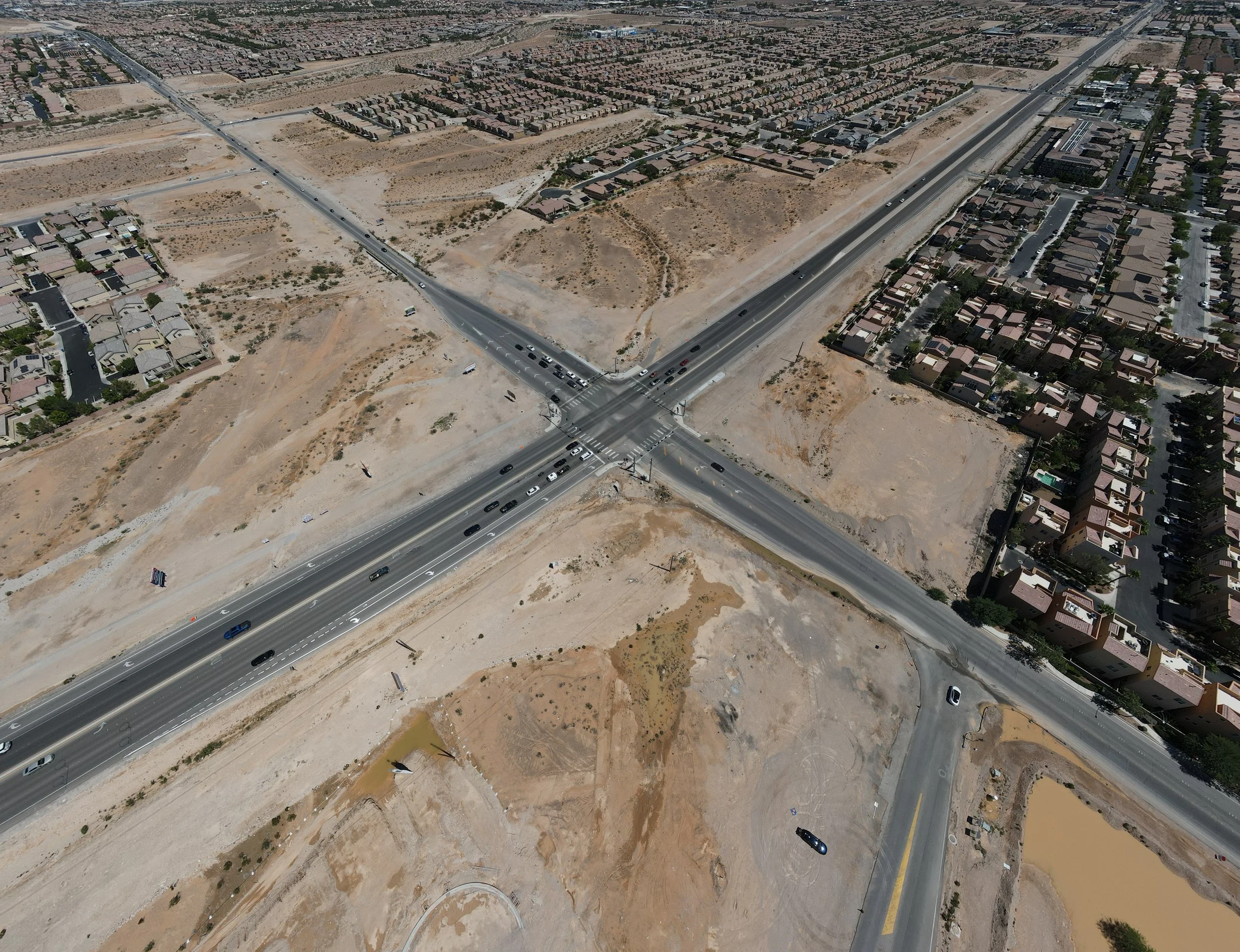
Blue Diamond & Fort Apache; looking Northeast