Photogrammetry & Drone Mapping Services
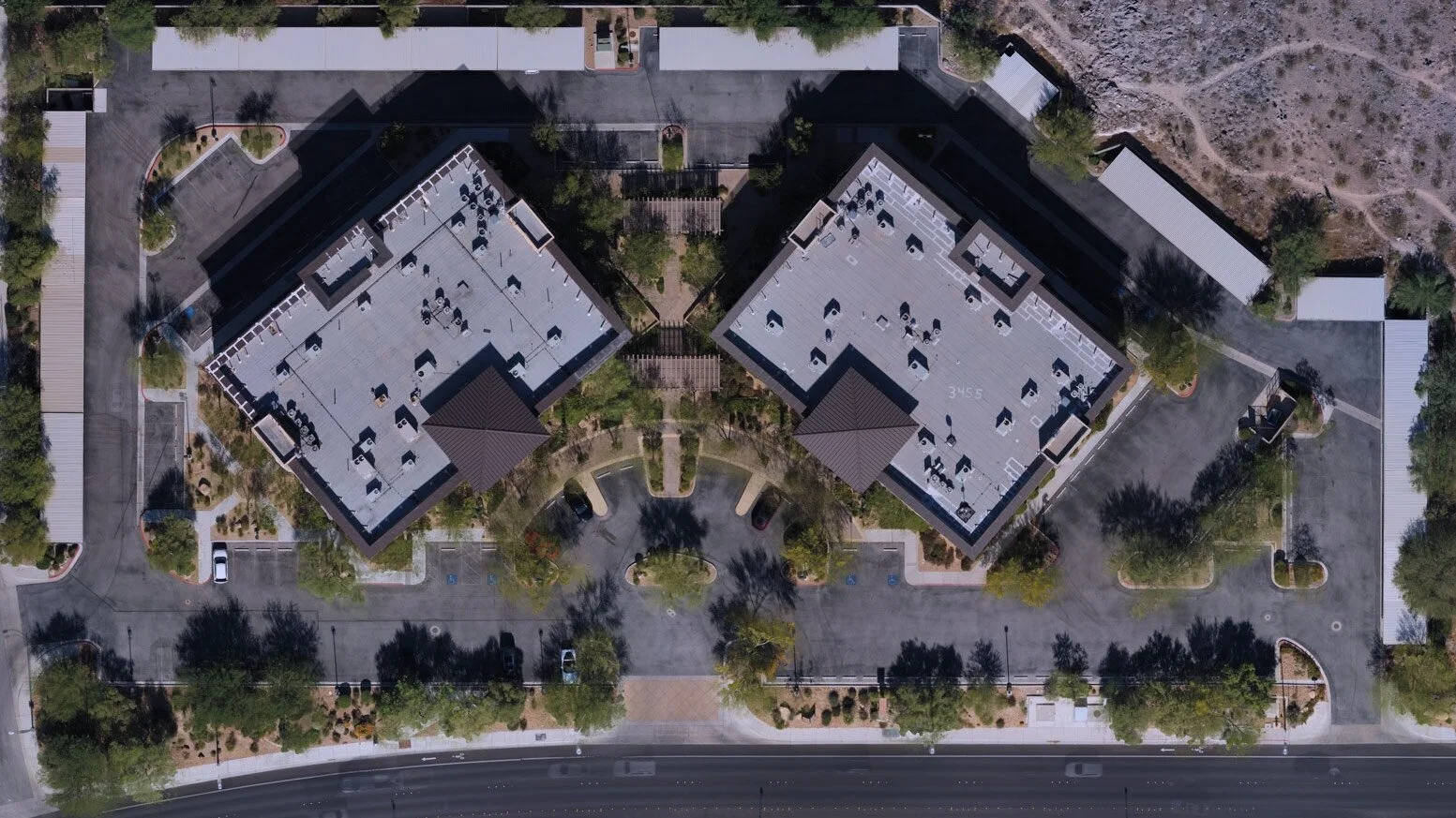
ProAerial Media provides survey-grade aerial surveying and drone mapping image acquisition and post-processing services utilizing Pix4D’s industry leading photogrammetry applications.
We provide everything from pre-flight planning, to image acquisition and analysis, to post-processing for your requested use. Alternatively, we have no problem providing image acquisition only if you plan on processing the images in your own software like DroneDeploy or GlobalMapper.
To learn more, read our articles; “What Is Drone Mapping Used For?” and “What Is Photogrammetry?”
Types of Maps
3D Textured Mesh
Orthomosaic Mapping
DSM & DTM
Aerial Drone Mapping & Surveying Industries Served
Providing best-in-class nadir or oblique RGB image acquisition via UAV. We utilize Pix4Dcapture for flight planning and Pix4Dmapper for interactive 3D spatial modeling.
BIM & Construction
Real Estate & Development
Insurance & Inspections
Energy & Engineering
Mining & Aggregates
Precision Agriculture
Free Quote & Flight Booking Process
Request A Quote
Start by requesting a FREE quote. Provide us with some initial info like address, GPS coordinates, or section/lot number(s), the type of property and acreage, any access concerns, and the desired output (map or model). We usually follow-up within 1–2 business days.
Research & Planning
Once we’ve received your request we conduct a thorough pre-flight planning process where we review the airspace, local laws, site access, weather, image acquisition time, and travel — we’ll then contact you to discuss any specifics, dates/availability, and costs.
Scheduling & Acquisition
If everything sounds good, we’ll confirm your reservation and begin planning around the upcoming weather conditions at your requested location, keeping you notified all along the way. A deposit of 50% of the proposed cost is required to confirm your flight.

