Providing Historical & Cultural site Preservation using aerial photogrammetry

ORTHOIMAGERY and 3D Modeling SERVICES for:
Cultural Heritage Sites
Natural
Native
Archeological
Historic Man-Made Sites
Monuments, Memorials, & Bridges
Commercial Districts & Buildings
Military Forts & Facilities
The ProAerial Media Historical Preservation Project aims to provide established and underserved cultural and historical sites with the digital resources and expertise necessary to aid in their preservation and experiential fund-raising efforts. We provide aerial and terrestrial photography, videography, and photogrammetry services, at special discounted rates, for qualified nonprofits and not-for-profits looking to preserve their legacies as 3D recreations of reality.
In order to assist us in researching, selecting, finding, and accessing the various historic sites that we visit, we’ve partnered with Starbuck’s Exploring out of Las Vegas, Nevada. Starbuck’s Exploring founder, Guy Starbuck, possesses a lifetime of experience in accessing remote sites all across the Western United States, and we’re lucky to be working with him. We encourage you to visit his site to view his body of work (and maybe even make a donation).

Why preservation matters
“In any moment of decision, the best thing you can do is the right thing. The worst thing you can do is nothing.”
-Theodore Roosevelt
How Aerial Photogrammetry MAKES PRESERVATION POSSIBLE
In order to properly preserve buildings or landmarks for future generations to experience, proper funding and a team of people is almost always needed.
The reality is, there are far more sites to preserve than there is funding to allocate, and little effort is actually made.
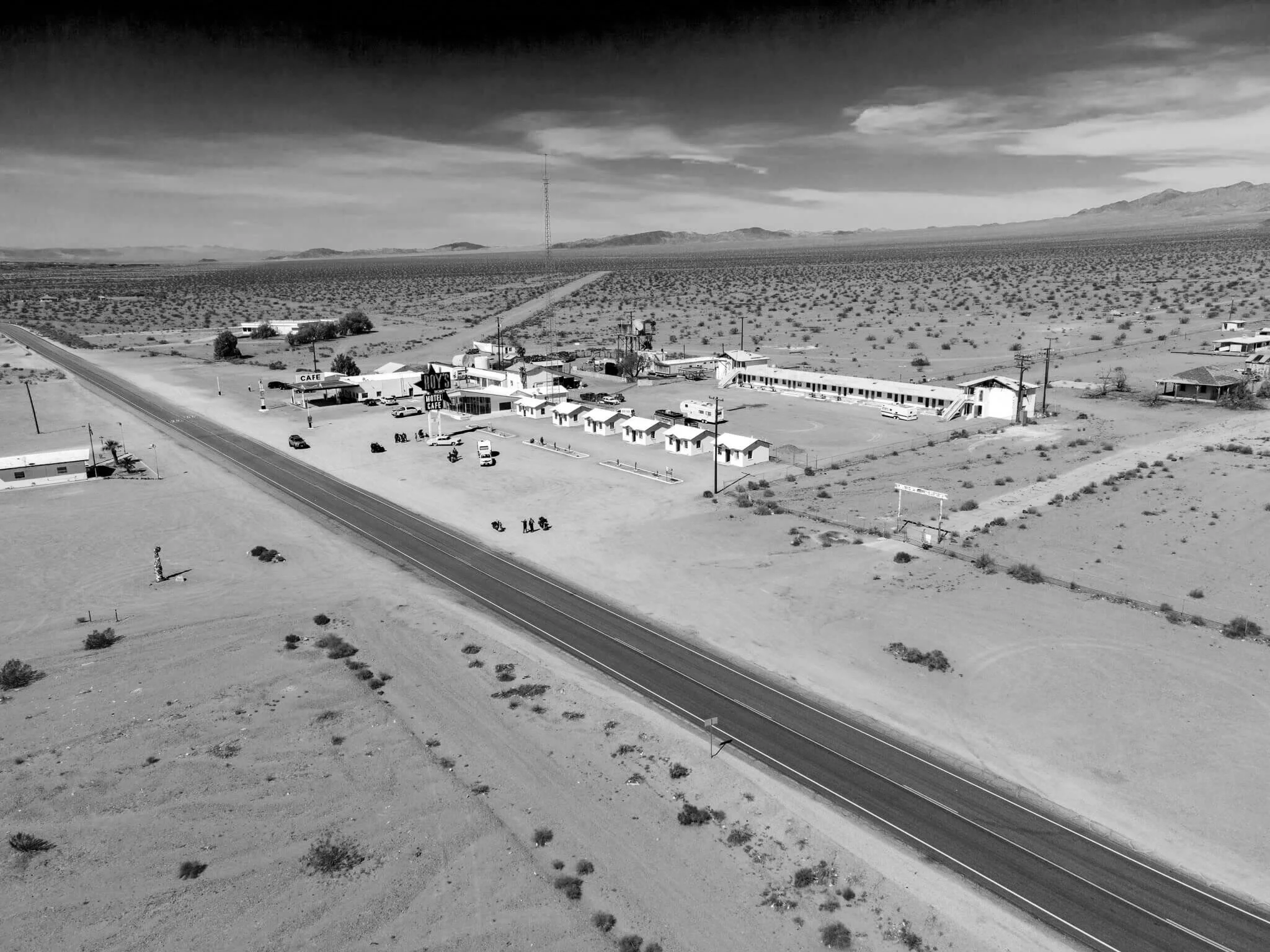
By capturing aerial imaging data via a UAV (or Drone), these sites can be preserved digitally and interpreted into various interactive 3D models and 2D maps that can be shared and experienced by anyone with an internet connection.
Examples of Photogrammetry Outputs
Orthomosaic Map (or Orthophoto)
3D Textured-Mesh
Digital Surface Model (DSM)
How It Works
Below is a summarized list of the steps involved in a typical PAM Historic Preservation Project Assignment.

Cook Bank Building, Rhyolite, NV
Pre-Project Planning
Stakeholder Introductions
Mission & Objectives
Funding & Budget Assistance
Mission Planning
Site Research, Survey, & Assessment
Image Acquisition & Post-Processing Strategy
Proposal Creation
Team Organization/Shooting Schedules
Travel & Weather
On-Location Acquisition
Daily Production Schedules
Pre-Flight Safety
Ground Control Placement & Marking
Flight Plan Execution, Backup, & Review
PAM Historic Preservation Project Sites

The Southern Nevada mine
Clark County, NV
Winter 2021

The Oakland Mine
Clark County, NV
Winter 2021