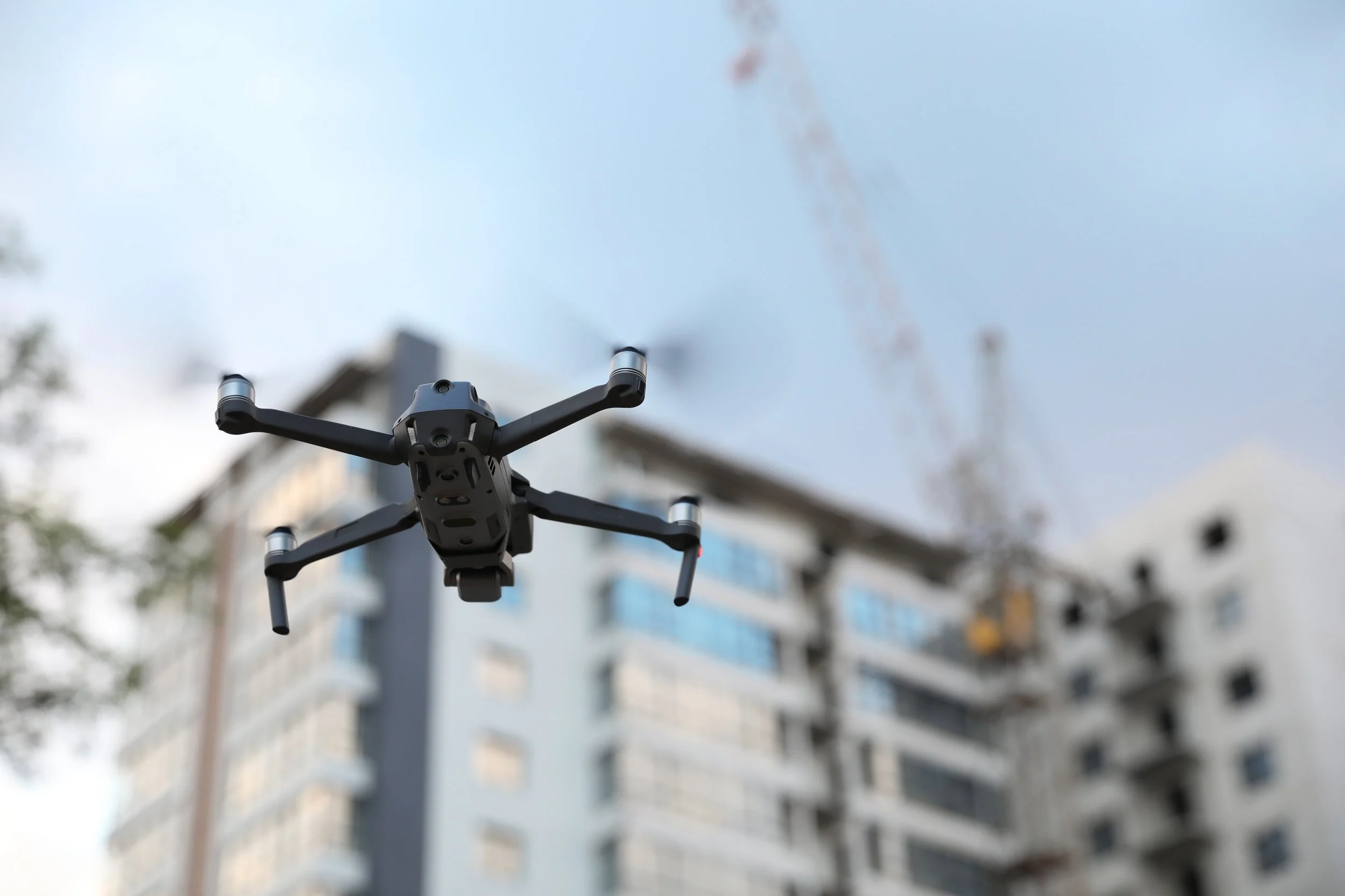
In recent years, drones (or UAVs) have revolutionized construction site monitoring. With the ability to capture high-quality aerial imagery, they are valuable tools for project management and decision-making.
Recognizing the role of drones and aerial monitoring in construction and the key applications of this technology in the industry can help you make an educated decision about these services for your business.
Let’s take a closer look at how construction businesses can leverage aerial photography and drones to enhance their operations.
Understanding Aerial Construction Site Monitoring
Drone construction site monitoring involves a systematic approach to capture comprehensive aerial views of construction projects.
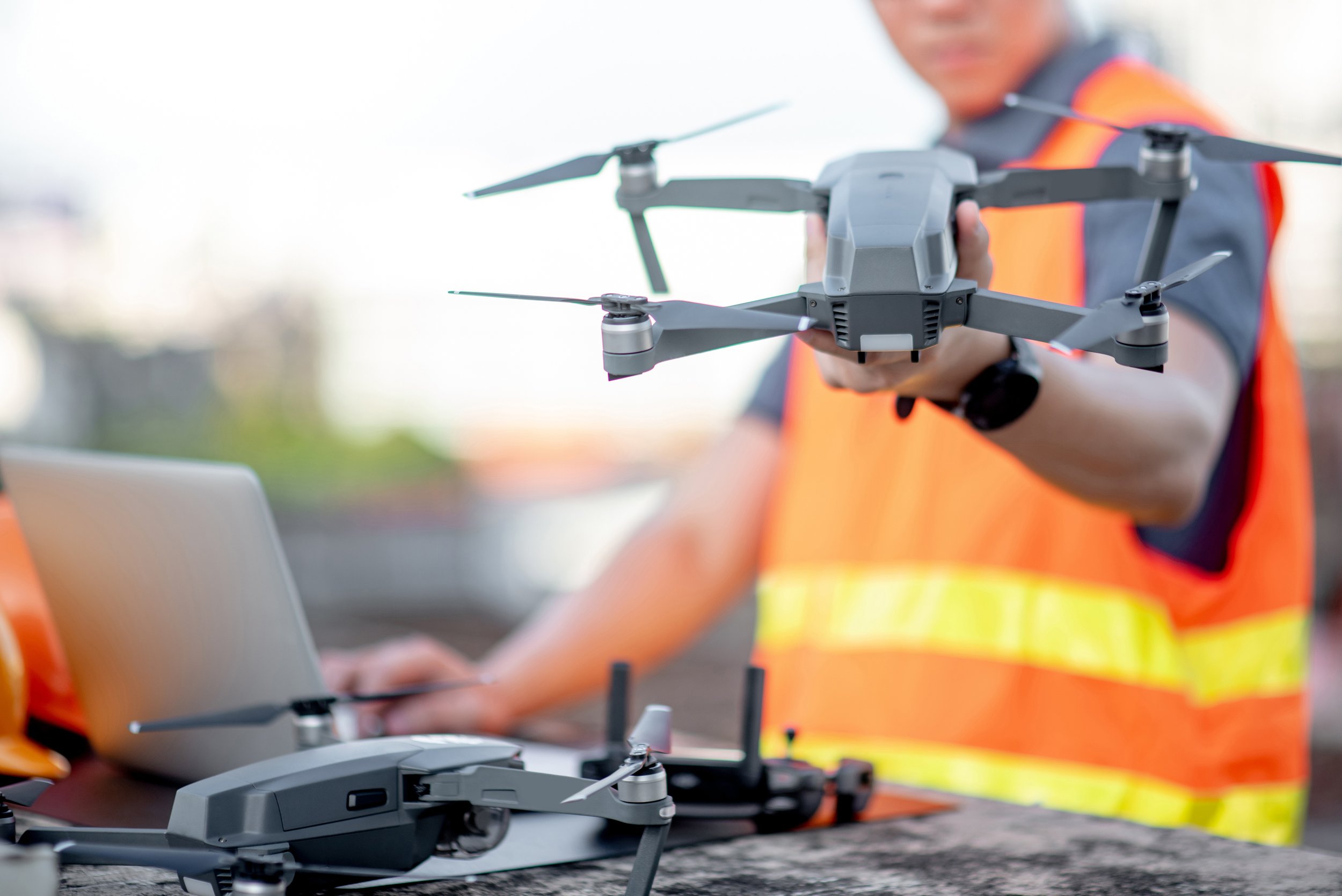
Initially, professionals conduct a site assessment to determine the key areas for monitoring and identify any potential obstacles. The team then sets up flight plans, ensuring they comply with local aviation regulations and safety protocols.
Small Uncrewed Aircraft Systems (or sUAS) equipped with high-resolution cameras and sensors fly over the designated areas, capturing detailed images and/or videos from various perspectives. Depending on the site's complexity, they operate autonomously or under pilot supervision.
After collecting the data, specialists analyze the imagery using advanced software. Detailed maps, 3D models, and progress reports provide project managers and stakeholders with real-time insights into the construction progress.
Aerial monitoring services offer several key features and capabilities that enhance construction site management.
High-resolution imaging allows for the capture of intricate details, facilitating precise measurements and quality control.
Drones equipped with the proper sensor can generate accurate topographic maps and 3D models.
Real-time data transmission enables immediate access to site conditions, improving responsiveness to potential problems.
Thermal imaging capabilities help identify heat loss, water infiltration, and other structural issues not visible to the naked eye.
Drones can safely reach inaccessible or hazardous areas, reducing the risk to human workers, and allows monitoring to be done remotely from anywhere in the world. The integration of these technologies into construction workflows improves efficiency, enhances safety, and helps meet strict deadlines, all while providing cost savings.

Applications of Aerial Photography & Drones in Construction
Drone construction site photography serves various applications in the construction industry. These include:
Progress Tracking & Documentation.
Site Planning
As-Built vs As-Designed Analysis
Digital Twin Creation for Building Information Modeling (BIM)
Safety & Compliance Monitoring
Progress tracking and documentation entail capturing images of the construction site at different stages of the project to document progress. In site planning and design analysis, drones provide aerial views that aid in planning construction activities and analyzing the effectiveness of designs. Regarding safety and compliance monitoring, drones can identify potential safety hazards that may not be visible from the ground.
Benefits for Construction Businesses
The adoption of drone construction site photography presents several benefits for construction businesses.
Cost-Effectiveness and Efficiency
Utilizing drones for site monitoring reduces the need for manual inspections and traditional surveying methods, which are often time-consuming and expensive. Drones quickly capture comprehensive aerial views, enabling faster data collection and reducing labor costs.
Their ability to access hard-to-reach areas without scaffolding or other equipment cuts expenses and minimizes downtime. By providing detailed and accurate imagery, drones help identify issues early. This creates an opportunity for prompt corrective actions and preventing costly project delays.
Enhanced Project Management and Decision Making
Drone technology revolutionizes project management and decision-making processes in construction. The high-resolution images and real-time data provided by drones give project managers a clear and up-to-date overview of the construction site.
This transparency allows for better tracking of progress, ensuring that projects stay on schedule. Drones also facilitate accurate site measurements and assessments. They aid in resource allocation and workflow optimization. By offering precise and comprehensive insights, drones empower managers to make informed decisions quickly. As a result, they can improve overall project coordination and effectiveness.
Marketing and Client Engagement
Drones offer a unique advantage in marketing and client engagement for construction businesses. High-quality aerial photographs and videos of construction projects serve as powerful tools for showcasing progress and capabilities to clients and stakeholders.
These visually compelling materials can be used in presentations, reports, and marketing campaigns. They easily highlight the company's proficiency and commitment to innovation.
Providing clients with regular aerial updates enhances transparency and trust because they can visually track the project's advancement. This increased engagement not only satisfies current clients but also attracts potential audiences.
Choosing the Right Drone Service Provider for Your Project
Selecting a drone photography service provider with the right qualifications and experience is crucial for successful construction site monitoring. Look for providers who specialize in construction site photography and possess a strong portfolio of completed projects. Their familiarity with construction workflows and potential site challenges ensures they can capture relevant data.
Experienced providers understand the importance of precise imagery and can navigate complex site conditions. Certifications, such as those from the Federal Aviation Administration (FAA) for commercial drone operations, indicate a commitment to safety and regulatory compliance.
The equipment and technology utilized by a drone photography service provider significantly impact the quality of their work. Choose providers that use advanced drones equipped with high-resolution cameras, LiDAR sensors, and thermal imaging capabilities.
These technologies allow for detailed and accurate data capture, which is essential for comprehensive site analysis. Providers investing in the latest data processing and 3D modeling software can deliver high-quality outputs that enhance project planning and management.
Check that the provider uses a drone with robust flight stability and RTK (real-time kinematic) positioning for centimeter-level accuracy. These features are crucial for consistent and precise imaging.
Prioritizing providers with cutting-edge technology ensures you receive top-tier services that meet your construction monitoring needs.
Leveraging Drones and Aerial Photography Services
Drone construction site photography is an innovative method of construction site monitoring that offers numerous benefits. It enhances project management and decision-making while improving marketing and increasing client engagement.
Construction businesses of all sizes can benefit from exploring aerial monitoring services with ProAerial Media LLC, a qualified and experienced drone service provider specializing in aerial photography for BIM.
ProAerial Media provides aerial photography and video for both residential and commercial real estate, commercial and industrial real estate, as well as other custom solutions like site surveying and inspections, or special events. If you’re ready to fly, you can always book a flight from the ProAerial Media Website.
Thanks for reading. Take Flight. Take Pics. Get Clicks.