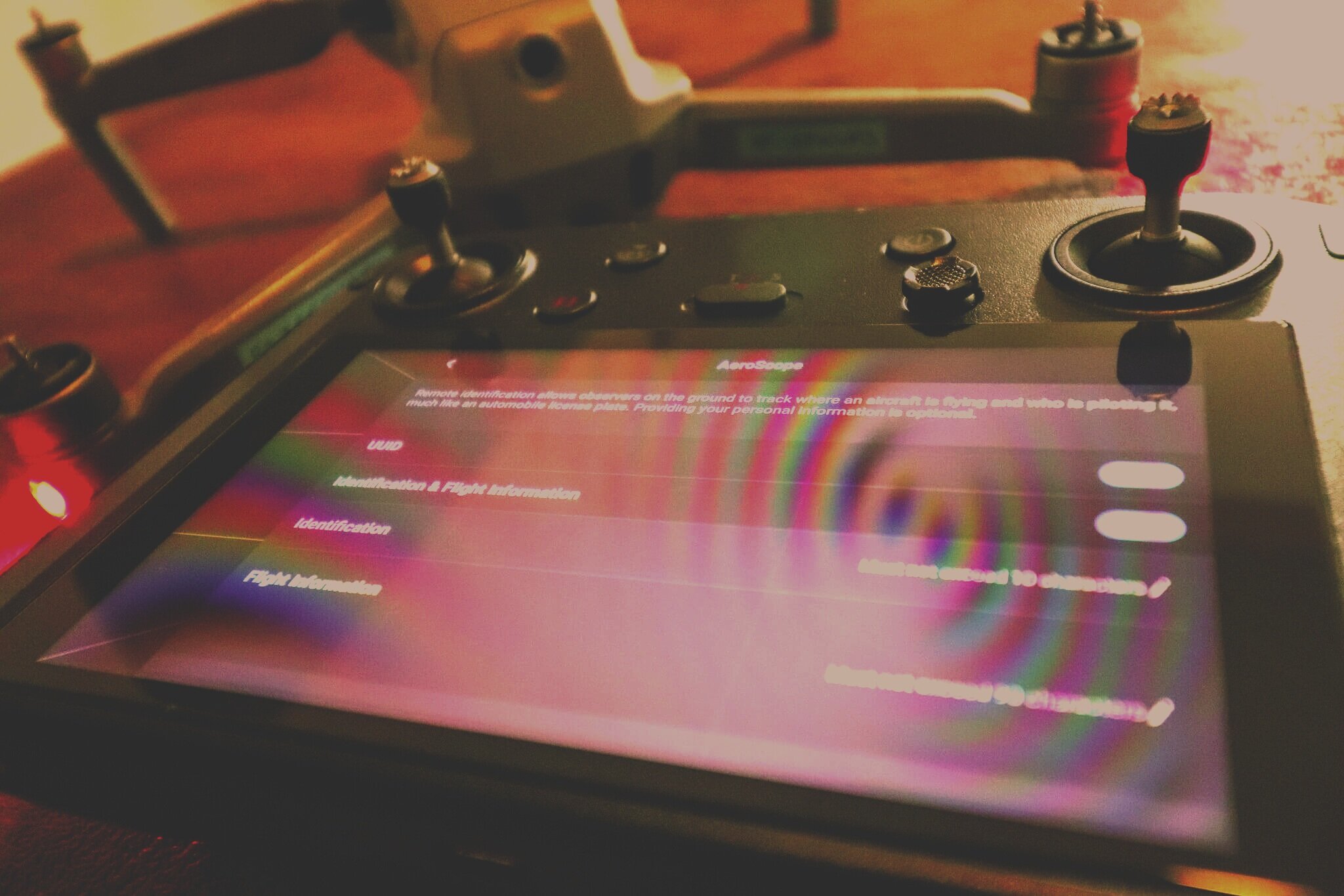
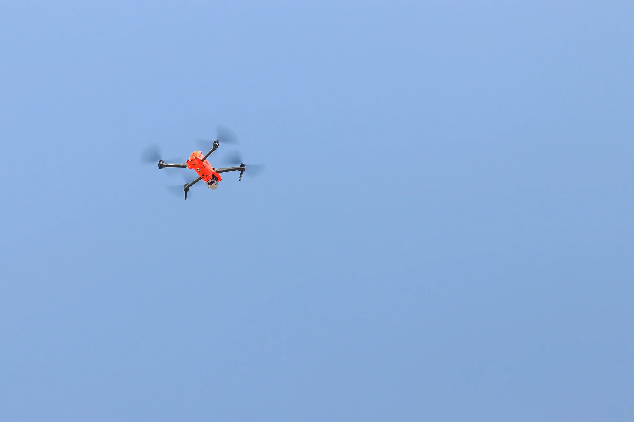
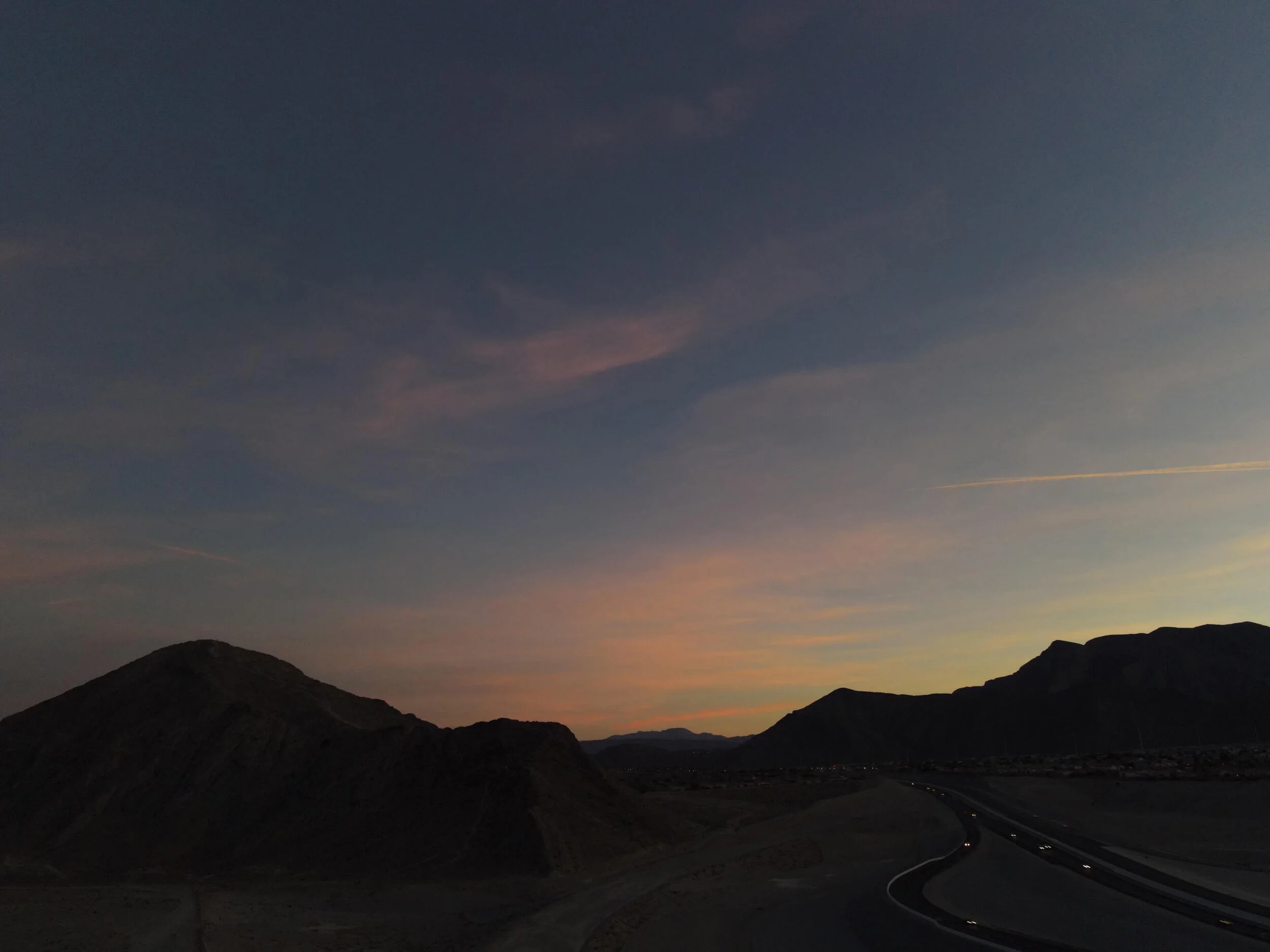
Flying a drone at night is now legal for all UAV Pilots as long as they adhere to the new FAA rules and regulations under CFR Part 107, which went into effect on April 21, 2021. Learn what is required to remain compliant and additional considerations to ensure your night operation is safe.
What Is FAA Remote ID? 2021 New Drone Rule Overview
Commercial UAV operators have a slew of new rules to familiarize themselves with as of April 21st, 2021. The primary driver of all the new rules is the Remote ID requirements, allowing drone pilots greater operational capabilities and is considered by many as a necessary step for further integrating drones into the National Airspace System (NAS).
2021 New FAA Drone Regulations: Summary and Overview
FAA Part 107 Drone Pilot Training Provider Reviews
Out of the three major players in the FAA Part 107 drone pilot training space one clearly stands out as the best. We were so impressed with The Drone U’s sheer amount and quality of their training content, we can’t endorse them enough and hope you find the same level of value that we did.
Improving Historical Preservation w/ Aerial Photogrammetry
Though efforts are made to preserve many cultural and historical sites, far more never receive the ongoing funding needed to “last forever”. They like all things, will ultimately succumb to father time. However, utilizing drones and aerial photogrammetry, these cultural treasures can actually live-on and be experienced by future generations as highly detailed and interactive 3D representations of reality.
What Is An Orthomosaic Map? (Answered in under 100 words)
An Orthomosaic Map is an aerial photograph comprised of dozens, hundreds, or thousands of smaller overlapping images, typically captured with a drone or UAV. These images are “stitched together” with specialized photogrammetry software resulting in an Orthomosaic Image that has been “orthorectified” or geometrically corrected to provide uniform scale throughout allowing for accurate measurement of distance.
Aerial Drone Roof Inspections: An Overview + Cost Guide
Real Estate Aerial Photography Tips for Realtors
Photos are perhaps the most powerful tool in your arsenal for closing real estate deals. Photos reach out and grab the attention of the viewer in a way that words can't. But with most real estate agents offering professional photography as part of their package, how can you start standing out? You take it one step further and start offering real estate aerial photography with a drone.
Meet Professional Las Vegas Drone Pilot: Christopher Kabat
Being from the Windy City, he’s naturally full of hot air. He prefers to travel by car, and only via two-lane county backroads. His bird is named after his drink of choice, his dog is named after a bird, and according to his voicemail, he works with International Super Spy Sterling Archer. Yeah, you read that right. He is Professional Las Vegas Drone Pilot Christopher Kabat, of ProAerial Media LLC (or PAM for short).
How To Sell Rural Vacant Land with Aerial Photos & Video
Residential and commercial Realtors, real estate companies, and property management businesses, all leverage aerial photography, and video in their real estate listings. But what about using aerial photos and video for rural vacant land sales?
In this article, we’ll be showing some of the services a commercial UAV pilot or aerial photographer can provide to realtors and those selling undeveloped land.
What Is Photogrammetry? (Answered In Under 100 Words)
What Is Drone Mapping Used For? Overview + Use-Cases
Can You Fly A Drone At Night? The 107.29 Daylight Waiver
The Code of Federal Regulations (CFR Part 107) governing drone operations in the United States explicitly limits drone operations during daylight hours and during what is called civil twilight, which is defined as the 30 minutes before official sunrise and after official sunset. Outside those hours on any given day, it is illegal to fly a small unmanned aircraft for commercial purposes. That is unless…