
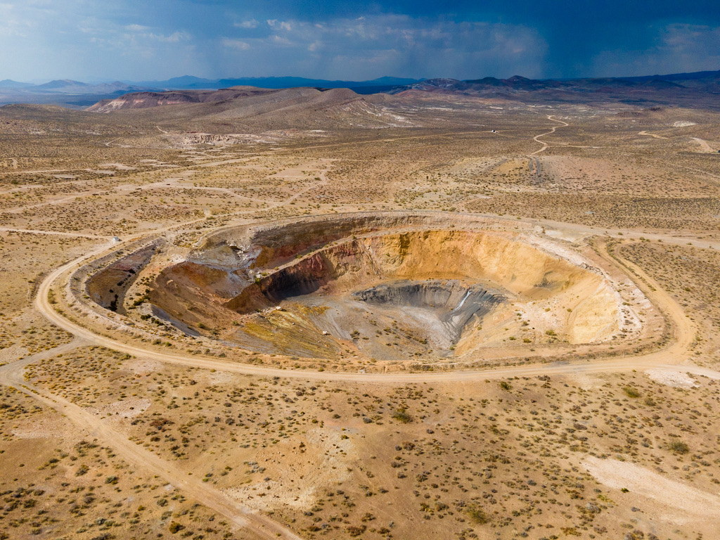
Operational capabilities for serious sUAS programs.
PAM's work is organized into four principal areas — each addressing a different layer of a dependable drone operation.
sUAS Operations & Deployment
Field execution, site launches, multi-site support, pilot coordination, autonomous and field-deployed systems, logistics, and operational continuity.
- —Field execution and site launches
- —Multi-site and distributed operations support
- —Pilot coordination and field team management
- —Autonomous and field-deployed enterprise systems
- —Operational logistics and continuity planning
See how PAM helped develop and field-test an operating model for a multi-site enterprise drone program.
Read the Case Study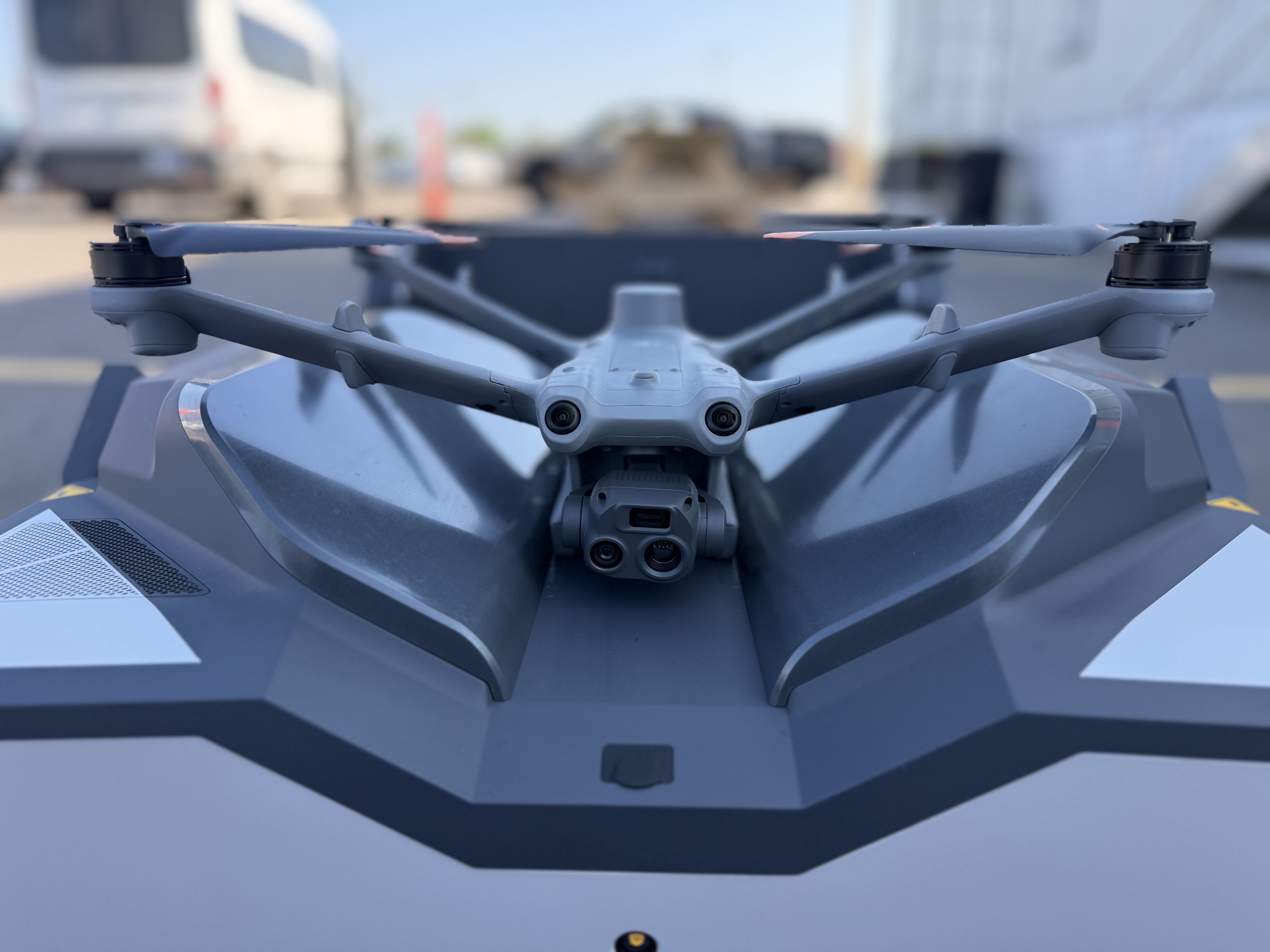
Safety & Operational Readiness
Risk review, FRAT workflows, aircraft and site readiness, weather and airspace decision-making, safety procedures, incident documentation, and follow-up.
- —Risk review and FRAT workflows
- —Aircraft and site readiness assessments
- —Weather and airspace decision-making
- —Safety procedures and protocol development
- —Incident documentation and follow-up
Program Development & Consulting
Program planning, SOP and workflow development, technology evaluation, implementation support, training, documentation, and operational improvement.
- —Program planning and architecture
- —SOP and workflow development
- —Technology evaluation and selection
- —Implementation support and rollout
- —Training, documentation, and operational improvement
Aerial Data & Documentation
Mapping, photogrammetry, inspection support, construction progress, 360-degree documentation, photography, video, and other field-data acquisition.
- —Mapping and photogrammetry
- —Inspection support and documentation
- —Construction progress and reality capture
- —360-degree site documentation
- —Photography, video, and field-data acquisition
Field control and geospatial data collection
Orthomosaic and georeferenced site documentation
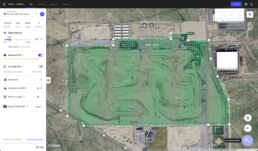
Large-area mission planning and automated capture design
Representative Outputs
Deliverables are matched to the operational question, intended user, and downstream workflow.
- 01Orthomosaic and georeferenced imagery
- 02Point clouds and three-dimensional models
- 03Thermal and RGB datasets
- 04Asset and inspection documentation
- 05Construction and site-progress imagery
- 06Structured field data and client-ready reporting
PAM can also provide organized original data acquisition for client or third-party processing and analysis.
Featured Service
Pathfinding & Immersive Property Documentation
Interior-to-exterior visual capture combining aerial mapping, ground-level imagery, and 360-degree walkthroughs. Pathfinding gives remote teams a navigable property record for documentation, planning, review, coordination, and recurring site visibility.
Explore PathfindingFor international teams
Need FAA Part 107 execution for a U.S. project?
PAM supports overseas companies with U.S.-based flight, testing, demonstrations, reality capture, field deployment, and repeat multi-site work.
Engagement models built around the operation.
Project-Based Field Support
Defined aerial collection, inspection, mapping, documentation, deployment, or operational-support assignments with clear scope, deliverables, and field requirements.
Embedded Operational Support
Recurring or extended support integrated with client teams, aircraft, systems, procedures, and active field operations.
Program Development & Readiness
Operating-model development, safety workflows, SOP and CONOPS support, readiness review, documentation, reporting, handoff, and closeout systems.
Working with PAM
Need support for your operation?
Discuss your program, deployment, or safety review with PAM.
PAM is U.S.-based and available for regional, nationwide, recurring, and extended field deployments.