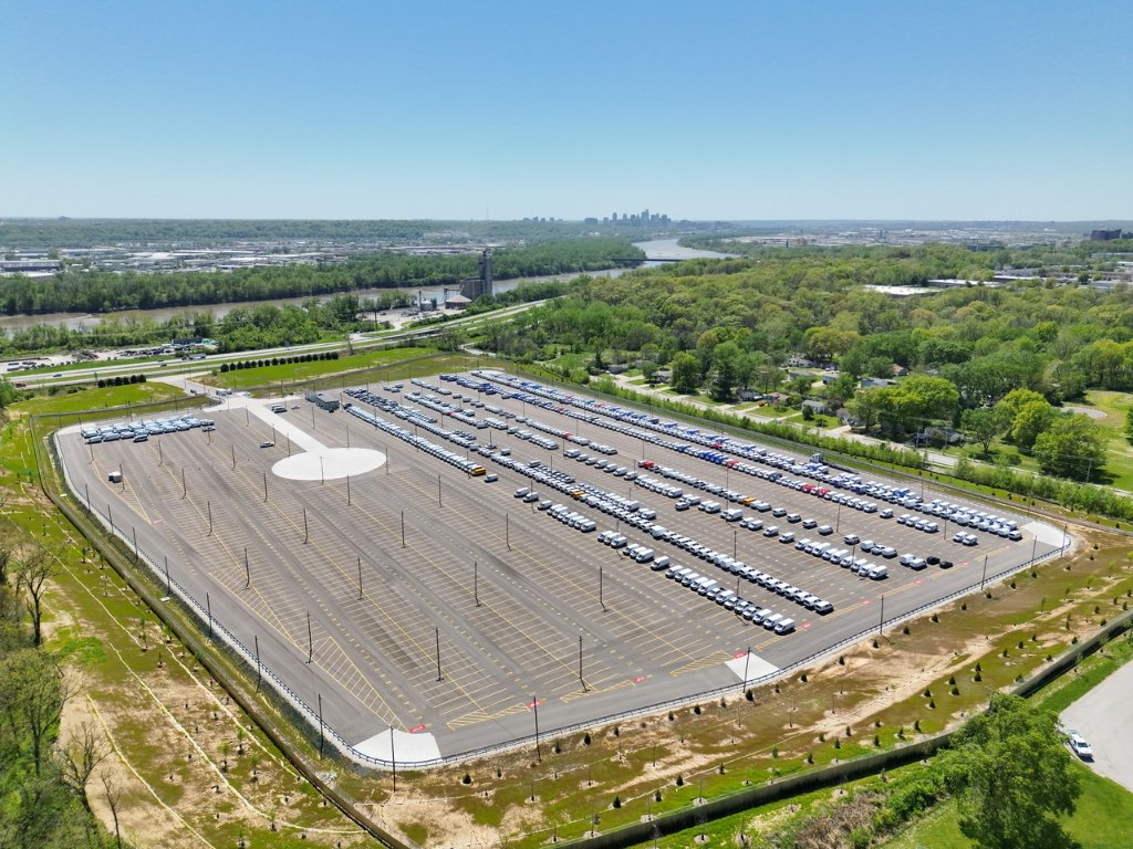
Aerial view of a large automotive logistics yard documented during an extended enterprise sUAS deployment.
Experience

Selected work and operational evidence.

A flexible record of PAM’s operational experience across enterprise, industrial, infrastructure, energy, construction, and specialized documentation environments.

01

Building the operating model around enterprise drone operations

A multi-phase program arc spanning proof-of-concept work, operating-model development, a sustained Kansas City deployment, and compressed second-site validation in Fort Wayne.

Aerial view of a large automotive logistics yard documented during an extended enterprise sUAS deployment.
Detroit / Discovery
Kansas City / Sustained Operation
Fort Wayne / Transferability
View Full Case Study

INDUSTRIAL REALITY CAPTURE

02

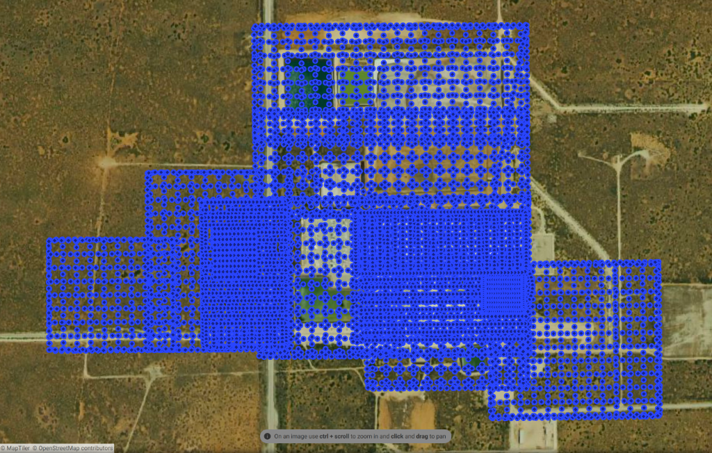
Reality Capture at the Waste Isolation Pilot Plant

Large-area aerial mapping and three-dimensional documentation across more than 350 acres at the U.S. Department of Energy’s WIPP facility in southeastern New Mexico.

350+ acres / 7,000+ aerial images / Orthomosaic and 3D model

Aerial capture plan showing thousands of source-image locations across the Waste Isolation Pilot Plant in southeastern New Mexico.
View Full Case Study
03

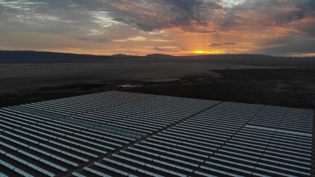
Utility-scale CSP inspection validation

PAM supported Volateq during a U.S. trial designed to validate its drone-based inspection software and data workflow under real utility-scale operating conditions.

Utility-scale concentrated solar power field at sunset in a remote desert landscape.

Locations

  • Atlantica Mojave Solar Project near Barstow, California
  • Atlantica Solana Generating Station in Arizona

Operating challenge

Volateq’s technical team was based in Europe, while the validation work required coordinated access, logistics, flight planning, and consistent field capture at two remote U.S. concentrated solar power facilities.

PAM’s role

  • Domestic travel and field logistics
  • Client and facility coordination
  • Site-access planning
  • Mission and flight planning
  • On-site sUAS execution
  • Thermal and RGB data acquisition
  • Still-photo and video capture
  • Coordination with Volateq’s Europe-based technical team
  • Data preparation and delivery for downstream analysis

Outcome

The engagement provided Volateq with a utility-scale U.S. field-validation dataset across two operating CSP facilities and demonstrated an effective coordination model between a European analysis team and a U.S. field-operations partner.

TWO UTILITY-SCALE CSP FACILITIES / THERMAL + RGB / PHOTO + VIDEO / INTERNATIONAL DELIVERY

04

Operational readiness and program systems

PAM’s operational systems were developed from the practical demands of active field deployments, where safe and repeatable flight execution depended on more than aircraft capability alone.

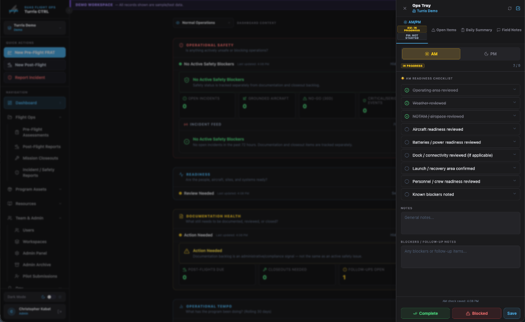
Turris CTRL dashboard and Ops Tray showing AM readiness checks, operational signals, open items, and workspace continuity.

Operating challenge

Distributed and extended operations require continuity across pilots, equipment, sites, shifts, risk decisions, unresolved issues, and mission closeout. Those needs are often spread across disconnected forms, messages, and flight applications.

PAM’s role

  • Preflight risk-review workflow development
  • Aircraft and site readiness tracking
  • AM and PM operational checks
  • Post-flight reporting
  • Incident documentation
  • Follow-up and corrective-action tracking
  • Pilot and shift handoff
  • Mission closeout and accountability
  • Operational-context and readiness visibility

Outcome

These workflows created a more structured approach to readiness, documentation, and continuity across changing field conditions. The field experience and operating logic became the foundation for Turris CTRL.

Explore Turris CTRL

FIELD-DEVELOPED SYSTEMS / READINESS / CONTINUITY / TURRIS CTRL

Additional Field Experience

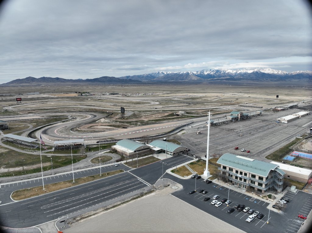
Wide aerial documentation of a large motorsports and event facility set within a mountain landscape.

Industrial and infrastructure documentation

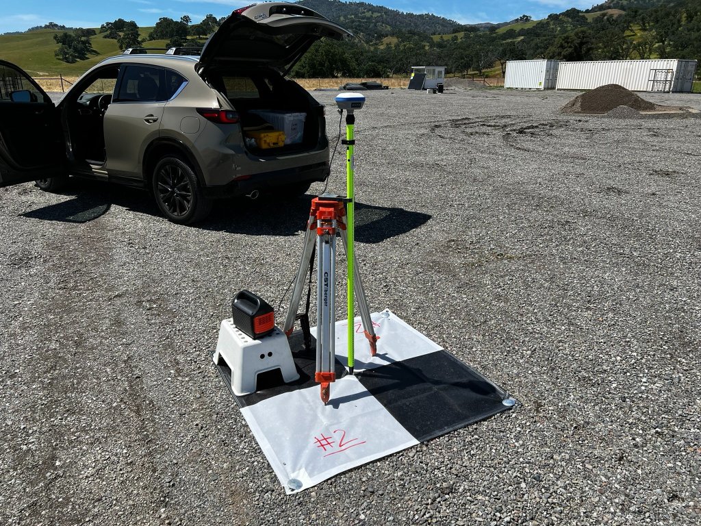
GNSS survey equipment and field-control setup beside a vehicle at an active project site.

Aerial mapping and orthomosaic production

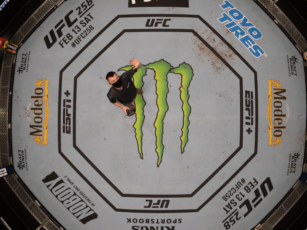
Overhead aerial view inside a UFC octagon during production activity.

Broadcast, editorial, and branded aerial media

Industrial and infrastructure documentation

Repeatable aerial and ground-based visual records supporting industrial assets, facilities, infrastructure environments, and remote stakeholder review.

Construction progress and reality capture

Aerial documentation, site mapping, progress imagery, and reality-capture workflows supporting active construction and development environments.

Aerial mapping and orthomosaic production

Georeferenced imagery and visual site records supporting planning, documentation, site awareness, and project communication.

Thermal and RGB data collection

Mission-specific collection of thermal and visible-spectrum imagery for specialized inspection, documentation, and downstream analysis workflows.

Broadcast, editorial, and branded aerial media

Aerial cinematography and specialty visual capture supporting projects for organizations including UFC and Golf Digest.

Government and public-sector field support

Professional flight operations, visual documentation, and field support for government, public-sector, energy, and infrastructure-related assignments.

Communications Infrastructure

Remote Telecom Site Capture

Recurring field deployment and three-dimensional image acquisition supporting communications infrastructure across remote and operationally complex sites. Work included travel between dispersed tower locations, site access coordination, consistent capture workflows, and organized delivery for downstream modeling and review.

Project experience included work associated with B+T Group and the Dish Network infrastructure rollout.

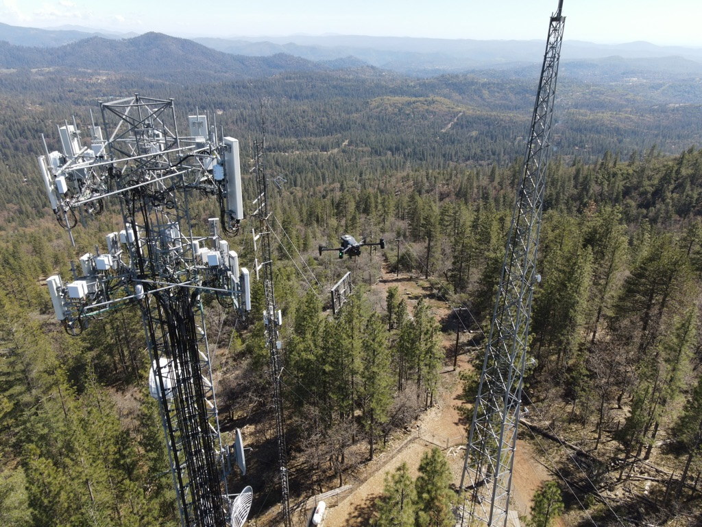
Drone operating near remote communications towers in a mountainous field environment.

Telecommunications and RF infrastructure

Aerial capture and technical documentation supporting towers, communications infrastructure, radio-frequency environments, and related field operations.

Enterprise aircraft and autonomous-system support

Field deployment, troubleshooting, readiness review, and operating support for enterprise aircraft, dock-based systems, and remote program stakeholders.

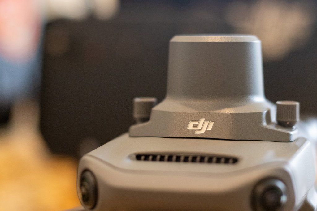
Close-up of an enterprise drone RTK module and aircraft body used in professional sUAS operations.

Historical preservation and cultural documentation

Aerial photography, photogrammetry, and visual documentation intended to preserve structures, places, and community history over time.

Have a project that needs operational support?

Discuss an Operation